| Tintah, 미네소타 주의 면적 | 0.761mi² |
| 인구 | 58 |
| 1975부터 2015까지의 인구 변화 | +87.1% |
| 2000부터 2015까지의 인구 변화 | -21.6% |
| 지역번호 | 218 |
| 현지 시간 | 토요일 AM 1:58 |
| 시간대 | 미 중부 하계 표준시 |
| 위도 및 경도 | 46.00968° / -96.32256° |
| 우편 번호 | 56583 |
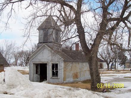
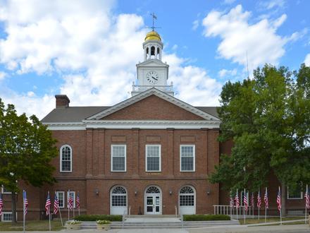
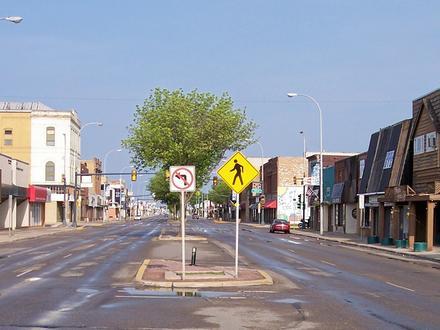
Tintah, 미네소타 주 인구
1975년부터 2015년까지Sources: JRC (European Commission's Joint Research Centre) work on the GHS built-up grid2000부터 2015까지의 Tintah 인구 변화
2000년부터 2015년까지 21.6% 감소Sources: JRC (European Commission's Joint Research Centre) work on the GHS built-up gridTintah, 미네소타 주 인구 밀도
인구 밀도: 76.3 / mi²Sources: JRC (European Commission's Joint Research Centre) work on the GHS built-up grid인간 개발 지수 (HDI)
평균 수명, 교육 및 일인당 소득의 통계 복합 지수.Sources: [Link] Kummu, M., Taka, M. & Guillaume, J. Gridded global datasets for Gross Domestic Product and Human Development Index over 1990–2015. Sci Data 5, 180004 (2018) doi:10.1038/sdata.2018.4Tintah, 미네소타 주 CO2 배출량
일인당 연간 이산화탄소 배출량 (CO2)Sources: [링크] Moran, D., Kanemoto K; Jiborn, M., Wood, R., Többen, J., and Seto, K.C. (2018) Carbon footprints of 13,000 cities. Environmental Research Letters DOI: 10.1088/1748-9326/aac72aTintah, 미네소타 주 CO2 배출량
| 2013 CO2 배출량(톤/년) | 1,092tn |
| 1인당 2013 CO2 배출량(톤/년) | 18.8tn |
| 2013 CO2 배출 정도(톤/mi²/년) | |
자연 재해 위험
10 개 중 상대 위험* 특히 홍수 나 산사태와 관련된 위험은 전체 지역에 해당되지 않을 수 있습니다.
Sources:
1. Dilley, M., R.S. Chen, U. Deichmann, A.L. Lerner-Lam, M. Arnold, J. Agwe, P. Buys, O. Kjekstad, B. Lyon, and G. Yetman. 2005. Natural Disaster Hotspots: A Global Risk Analysis. Washington, D.C.: World Bank. https://doi.org/10.1596/0-8213-5930-4.
2. Center for Hazards and Risk Research - CHRR - Columbia University, Center for International Earth Science Information Network - CIESIN - Columbia University, and International Research Institute for Climate and Society - IRI - Columbia University. 2005. Global Drought Hazard Frequency and Distribution. Palisades, NY: NASA Socioeconomic Data and Applications Center (SEDAC). https://doi.org/10.7927/H4VX0DFT.
3. Center for Hazards and Risk Research - CHRR - Columbia University, Center for International Earth Science Information Network - CIESIN - Columbia University. 2005. Global Flood Hazard Frequency and Distribution. Palisades, NY: NASA Socioeconomic Data and Applications Center (SEDAC). https://doi.org/10.7927/H4668B3D.
우리의 데이터
이 페이지의 데이터는 공개적으로 사용 가능한 많은 도구와 리소스를 사용하여 추정됩니다. 보증없이 제공되며 부정확 한 내용이 포함될 수 있습니다. 자신의 책임하에 사용하십시오. 자세한 내용은
여기 를 참조하십시오.