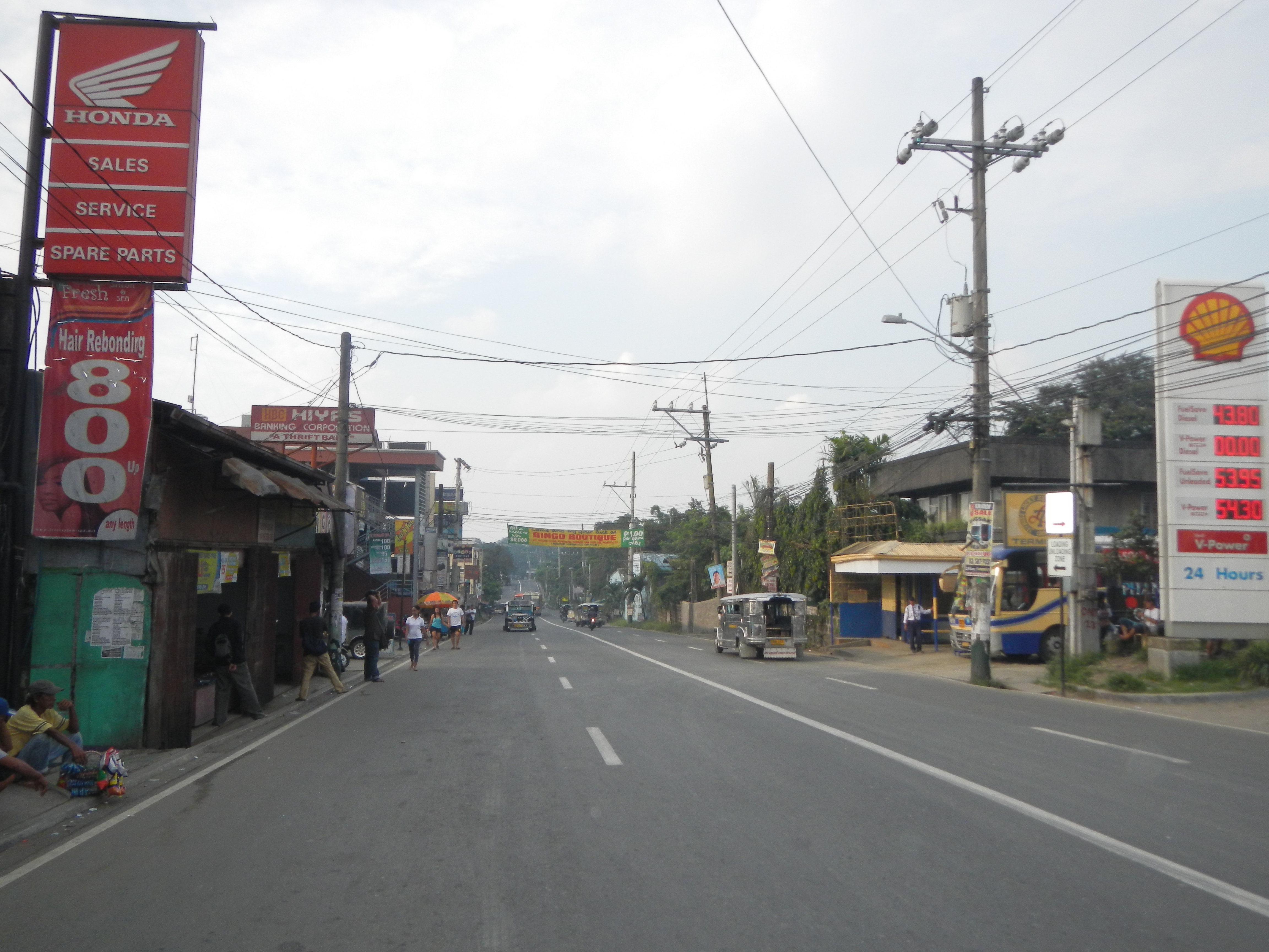
Angat의 카테고리
세차장주유소자동차정비/카센타오토바이 수리오토바이 대리점오토바이 판매점오토바이 부품 판매점자동차 수리자동차 판매점타이어 판매점자동차 부품 판매점농업도매상양계장양식장애견사육사생수공급업체식품가공업체디지털 인쇄 서비스산업용 장비 공급업체농업 생산식품 생산자식품 공급업체건설 자재 도매업체Sand and Gravel Supplier신발가게여성 의류의류 상점교회종교관공서예배당정수업체비영리단체커뮤니티 센터크리스챤 교회천주교 성당종교 기관지방 관청무료 급식소휴대폰 수리점철물점가정용품 전문점건축자재 판매점건물의 건설주택 개발주택 건설교육고등학교초등학교
1-50 / 127 표시
산업
Angat의 산업별 비즈니스 분포
| 산업 설명 | 시설 수 |
|---|---|
| 쇼핑 | 115 |
| 레스토랑 | 106 |
| 교육 | 57 |
| 식료품점 및 슈퍼마켓 | 48 |
| 종교 | 37 |
| 여행 및 교통 | 36 |
| 기타 숙박 시설 | 36 |
| 트랙터 및 농장 장비 | 35 |
| 기업 경영 | 33 |
| 모든 음식과 음료 | 32 |
Angat 사실
| 지역 | 53.4 km² |
| 인구 | 70,768 |
| 남성 인구 | 35,358 (50.0%) |
| 여성 인구 | 35,410 (50.0%) |
| 인구 변화 (1975 to 2020) | +322.5% |
| 인구 변화 (2000 to 2020) | +40.4% |
| 연령 중앙값 | 25.4세 (남성: 24.8, 여성: 25.9) |
| 1인당 GDP (구매력평가, PPP) | $3,962 (2022) |
| 지역번호 | 44 |
| 주민 | San Roque, Sta. Cruz, Marungko, Sulucan, Barangay Sta. Cruz |
| 현지 시간 | |
| 시간대 | 필리핀 표준시 |
| 위도 및 경도 | 14.92850, 121.03000 |
| 우편 번호 | 3012 |
Angat 지도
대화식지도
Angat 인구
1975년부터 2030년까지
| Data | 1975 | 1990 | 2000 | 2015 | 2020 | 2025* | 2030* |
|---|---|---|---|---|---|---|---|
| 인구 | 16,750 | 38,467 | 50,405 | 61,340 | 70,768 | 74,480 | 77,063 |
| 인구 밀도 | 313.8 / km² | 720.7 / km² | 944.4 / km² | 1,149.2 / km² | 1,325.9 / km² | 1,395.4 / km² | 1,443.8 / km² |
* 예상
출처: JRC (유럽 위원회 공동 연구 센터) 다음에 대한 작업 GHS 시가화 격자2000년부터 2020년까지 Angat 인구 변화
2000년부터 2020년까지 40.4% 증가
| 위치 | 1975 이후 변화 | 1990 이후 변화 | 2000 이후 변화 |
|---|---|---|---|
| Angat | +322.5% | +84% | +40.4% |
| 필리핀 | — | — | — |
출처: JRC (유럽 위원회 공동 연구 센터) 다음에 대한 작업 GHS 시가화 격자
Angat 중위 연령
중위 연령: 25.4세
| 위치 | 연령 중앙값 | 평균 연령 (여성) | 중간 나이 (남) |
|---|---|---|---|
| Angat | 25.4 yrs | 25.9 yrs | 24.8 yrs |
| 필리핀 | 23.2 yrs | 23.6 yrs | 22.8 yrs |
출처: CIESIN (Center for International Earth Science Information Network)
Angat 인구 밀도
인구 밀도: 1,326 / km²
| 위치 | 인구 | 지역 | 밀도 |
|---|---|---|---|
| Angat | 70,768 | 53.4 km² | 1,326 / km² |
| 필리핀 | 96.6 million | 296,939.4 km² | 325 / km² |
출처: JRC (유럽 위원회 공동 연구 센터) 다음에 대한 작업 GHS 시가화 격자
Angat 역사적 및 예상 인구
1730년부터 2100년까지의 예상 인구
출처:
- JRC (유럽 위원회 공동 연구 센터) 다음에 대한 작업 GHS built-up grid
- CIESIN (Center for International Earth Science Information Network)
- [링크] Klein Goldewijk, K., Beusen, A., Doelman, J., and Stehfest, E.: Anthropogenic land use estimates for the Holocene – HYDE 3.2, Earth Syst. Sci. Data, 9, 927–953, https://doi.org/10.5194/essd-9-927-2017, 2017.
Angat의 지역
Angat의 지역별 업체 비율
지역번호
Angat에 있는 사업체가 사용하는 지역 번호 비율
가격 분포
Angat의 가격별 사업체 분포
인간 개발 지수 (HDI)
평균 수명, 교육 및 일인당 소득의 통계 복합 지수.
출처: [링크] Kummu, M., Taka, M. &Guillaume, J. 1990–2015년 국내총생산 및 인간개발지수에 대한 격자형 글로벌 데이터셋. Sci Data 5, 180004 (2018) doi:10.1038/sdata.2018.4
Angat 국내총생산(GDP)
1인당 GDP, PPP (2017년 불변 국제 달러 기준)
| Data | 1990 | 1995 | 2000 | 2005 | 2010 | 2015 | 2020 | 2022 |
|---|---|---|---|---|---|---|---|---|
| 1인당 GDP | $3,112 | $3,118 | $3,400 | $3,282 | $3,836 | $3,288 | $3,430 | $3,962 |
| 총 GDP | $3억 | $3.5억 | $4.3억 | $4.6억 | $5.9억 | $5.4억 | $5.9억 | $7억 |
출처: [링크] Kummu, M., Kosonen, M. & Masoumzadeh Sayyar, S. Downscaled gridded global dataset for gross domestic product (GDP) per capita PPP over 1990–2022. Sci Data 12, 178 (2025) doi:10.1038/s41597-025-04487-x
Angat CO2 배출량
일인당 연간 이산화탄소 배출량 (CO2)
| 위치 | 이산화탄소 배출 | 일인당 이산화탄소 배출량 | 이산화탄소 배출 강도 |
|---|---|---|---|
| Angat | 106,688 tn | 1.51 tn | 1,998.8 tons/km² |
| 필리핀 | 104,920,564 tn | 1.09 tn | 353.3 tons/km² |
출처: [링크] Moran, D., Kanemoto K; Jiborn, M., Wood, R., Többen, J., and Seto, K.C. (2018) 13,000개 도시의 탄소 발자국. Environmental Research Letters DOI: 10.1088/1748-9326/aac72a
Angat CO2 배출량
| 2013년 CO2 배출량 (톤/년) | 106,688 tn |
| 2013년 1인당 CO2 배출량 (톤/년) | 1.51 tn |
| 2013년 CO2 배출 강도 (톤/km²/년) | 1,998.8 tons/km² |
자연 재해 위험
10 개 중 상대 위험
| 위험 | 위험 수준 |
|---|---|
| 가뭄 | 중간 (4) |
| 홍수 | 높음 (10) |
| 지진 | 높음 (8) |
| 집진 장치 | 높음 (10) |
| 산사태 | 중간 (6) |
* 특히 홍수 나 산사태와 관련된 위험은 전체 지역에 해당되지 않을 수 있습니다.
출처:
- Dilley, M., R.S. Chen, U. Deichmann, A.L. Lerner-Lam, M. Arnold, J. Agwe, P. Buys, O. Kjekstad, B. Lyon, and G. Yetman. 2005. Natural Disaster Hotspots: A Global Risk Analysis. Washington, D.C.: World Bank. https://doi.org/10.1596/0-8213-5930-4.
- Center for Hazards and Risk Research - CHRR - Columbia University, Center for International Earth Science Information Network - CIESIN - Columbia University, and Norwegian Geotechnical Institute - NGI. 2005. Global Landslide Hazard Distribution. Palisades, NY: NASA Socioeconomic Data and Applications Center (SEDAC). https://doi.org/10.7927/H4P848VZ.
- Center for Hazards and Risk Research - CHRR - Columbia University, Center for International Earth Science Information Network - CIESIN - Columbia University, International Bank for Reconstruction and Development - The World Bank, and United Nations Environment Programme Global Resource Information Database Geneva - UNEP/GRID-Geneva. 2005. Global Cyclone Hazard Frequency and Distribution. Palisades, NY: NASA Socioeconomic Data and Applications Center (SEDAC). https://doi.org/10.7927/H4CZ353K.
- Center for Hazards and Risk Research - CHRR - Columbia University, Center for International Earth Science Information Network - CIESIN - Columbia University, and International Research Institute for Climate and Society - IRI - Columbia University. 2005. Global Drought Hazard Frequency and Distribution. Palisades, NY: NASA Socioeconomic Data and Applications Center (SEDAC). https://doi.org/10.7927/H4VX0DFT.
- Center for Hazards and Risk Research - CHRR - Columbia University, Center for International Earth Science Information Network - CIESIN - Columbia University. 2005. Global Flood Hazard Frequency and Distribution. Palisades, NY: NASA Socioeconomic Data and Applications Center (SEDAC). https://doi.org/10.7927/H4668B3D.
- Center for Hazards and Risk Research - CHRR - Columbia University, Center for International Earth Science Information Network - CIESIN - Columbia University. 2005. Global Earthquake Hazard Distribution - Peak Ground Acceleration. Palisades, NY: NASA Socioeconomic Data and Applications Center (SEDAC). https://doi.org/10.7927/H4BZ63ZS.
최근 인근 지진
크기 3.0 이상
| 날짜▼ | 시간↕ | Magnitude↕ | Distance↕ | 깊이↕ | 위치↕ | 링크 |
|---|---|---|---|---|---|---|
| 6/10/19 | 11:03 PM | 4.2 | 69.2 km | 185,490 m | 4km NNE of Naic, Philippines | usgs.gov |
| 4/23/19 | 6:02 PM | 4.7 | 45.6 km | 50,080 m | 3km S of Lubao, Philippines | usgs.gov |
| 4/22/19 | 9:11 AM | 6.1 | 55.5 km | 21,840 m | 3km SSW of Floridablanca, Philippines | usgs.gov |
| 12/28/18 | 11:47 AM | 4.6 | 58 km | 165,920 m | 1km ESE of Concepcion, Philippines | usgs.gov |
| 11/10/16 | 7:11 AM | 4.8 | 45.1 km | 59,240 m | 20km N of Daraitan, Philippines | usgs.gov |
| 12/15/15 | 12:12 AM | 4.1 | 39.7 km | 10,720 m | 1km SSW of San Juan, Philippines | usgs.gov |
| 10/2/14 | 4:13 PM | 4.7 | 38.5 km | 203,560 m | 3km WSW of Arayat, Philippines | usgs.gov |
| 8/8/14 | 3:26 PM | 4.4 | 50.8 km | 115,320 m | 0km S of Santa Teresa Primera, Philippines | usgs.gov |
| 6/26/14 | 6:00 PM | 4.1 | 66.1 km | 10,000 m | 4km ENE of Parang, Philippines | usgs.gov |
| 4/6/14 | 12:31 AM | 4.2 | 66.4 km | 113,290 m | 5km S of San Benito, Philippines | usgs.gov |


우리의 데이터
이 페이지의 데이터는 여러 공개적으로 이용 가능한 도구와 자원을 사용하여 추정됩니다. 보증 없이 제공되며 부정확한 내용이 포함될 수 있습니다. 사용은 본인 책임입니다.