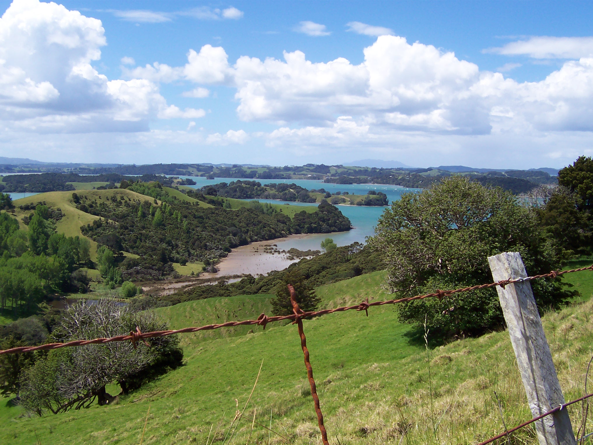
Tinopai 사실
| 지역 | 101.7 km² |
| 인구 | 367 |
| 남성 인구 | 198 (54.0%) |
| 여성 인구 | 169 (46.0%) |
| 인구 변화 (1975 to 2020) | +54.2% |
| 인구 변화 (2000 to 2020) | +19.9% |
| 연령 중앙값 | 45.2세 (남성: 45, 여성: 45.5) |
| 1인당 GDP (구매력평가, PPP) | $28,783 (2022) |
| 주민 | Avondale |
| 현지 시간 | |
| 시간대 | 뉴질랜드 표준시 |
| 위도 및 경도 | -36.25441, 174.24608 |
Tinopai 지도
대화식지도
Tinopai 인구
1975년부터 2030년까지
| Data | 1975 | 1990 | 2000 | 2015 | 2020 | 2025* | 2030* |
|---|---|---|---|---|---|---|---|
| 인구 | 238 | 267 | 306 | 353 | 367 | 381 | 404 |
| 인구 밀도 | 2.3 / km² | 2.6 / km² | 3 / km² | 3.5 / km² | 3.6 / km² | 3.7 / km² | 4 / km² |
* 예상
출처: JRC (유럽 위원회 공동 연구 센터) 다음에 대한 작업 GHS 시가화 격자2000년부터 2020년까지 Tinopai 인구 변화
2000년부터 2020년까지 19.9% 증가
| 위치 | 1975 이후 변화 | 1990 이후 변화 | 2000 이후 변화 |
|---|---|---|---|
| Tinopai | +54.2% | +37.5% | +19.9% |
| 노스랜드 지방 | — | — | — |
| 뉴질랜드 | — | — | — |
출처: JRC (유럽 위원회 공동 연구 센터) 다음에 대한 작업 GHS 시가화 격자
Tinopai 중위 연령
중위 연령: 45.2세
| 위치 | 연령 중앙값 | 평균 연령 (여성) | 중간 나이 (남) |
|---|---|---|---|
| Tinopai | 45.2 yrs | 45.5 yrs | 45 yrs |
| 노스랜드 지방 | 42.7 yrs | 43.2 yrs | 42.1 yrs |
| 뉴질랜드 | 37.9 yrs | 38.9 yrs | 36.9 yrs |
출처: CIESIN (Center for International Earth Science Information Network)
Tinopai 인구 밀도
인구 밀도: 3.6 / km²
| 위치 | 인구 | 지역 | 밀도 |
|---|---|---|---|
| Tinopai | 367 | 101.7 km² | 3.6 / km² |
| 노스랜드 지방 | 160,409 | 30,102.7 km² | 5.3 / km² |
| 뉴질랜드 | 4.4 million | 270,103.3 km² | 16.3 / km² |
출처: JRC (유럽 위원회 공동 연구 센터) 다음에 대한 작업 GHS 시가화 격자
Tinopai 역사적 및 예상 인구
1870년부터 2100년까지의 예상 인구
출처:
- JRC (유럽 위원회 공동 연구 센터) 다음에 대한 작업 GHS built-up grid
- CIESIN (Center for International Earth Science Information Network)
- [링크] Klein Goldewijk, K., Beusen, A., Doelman, J., and Stehfest, E.: Anthropogenic land use estimates for the Holocene – HYDE 3.2, Earth Syst. Sci. Data, 9, 927–953, https://doi.org/10.5194/essd-9-927-2017, 2017.
인간 개발 지수 (HDI)
평균 수명, 교육 및 일인당 소득의 통계 복합 지수.
출처: [링크] Kummu, M., Taka, M. &Guillaume, J. 1990–2015년 국내총생산 및 인간개발지수에 대한 격자형 글로벌 데이터셋. Sci Data 5, 180004 (2018) doi:10.1038/sdata.2018.4
Tinopai 국내총생산(GDP)
1인당 GDP, PPP (2017년 불변 국제 달러 기준)
| Data | 1990 | 1995 | 2000 | 2005 | 2010 | 2015 | 2020 | 2022 |
|---|---|---|---|---|---|---|---|---|
| 1인당 GDP | $8,292 | $9,721 | $9,522 | $12,667 | $15,086 | $20,156 | $19,717 | $28,783 |
| 총 GDP | $171.6만 | $209.9만 | $211.5만 | $308.5만 | $401.2만 | $597.8만 | $675만 | $1011.4만 |
출처: [링크] Kummu, M., Kosonen, M. & Masoumzadeh Sayyar, S. Downscaled gridded global dataset for gross domestic product (GDP) per capita PPP over 1990–2022. Sci Data 12, 178 (2025) doi:10.1038/s41597-025-04487-x
Tinopai CO2 배출량
일인당 연간 이산화탄소 배출량 (CO2)
| 위치 | 이산화탄소 배출 | 일인당 이산화탄소 배출량 | 이산화탄소 배출 강도 |
|---|---|---|---|
| Tinopai | 2,821 tn | 7.69 tn | 27.7 tons/km² |
| 노스랜드 지방 | 543,395 tn | 3.39 tn | 18.1 tons/km² |
| 뉴질랜드 | 37,929,206 tn | 8.61 tn | 140.4 tons/km² |
출처: [링크] Moran, D., Kanemoto K; Jiborn, M., Wood, R., Többen, J., and Seto, K.C. (2018) 13,000개 도시의 탄소 발자국. Environmental Research Letters DOI: 10.1088/1748-9326/aac72a
Tinopai CO2 배출량
| 2013년 CO2 배출량 (톤/년) | 2,821 tn |
| 2013년 1인당 CO2 배출량 (톤/년) | 7.69 tn |
| 2013년 CO2 배출 강도 (톤/km²/년) | 27.7 tons/km² |
자연 재해 위험
10 개 중 상대 위험
| 위험 | 위험 수준 |
|---|---|
| 홍수 | 높음 (8) |
| 지진 | 중간 (5.5) |
* 특히 홍수 나 산사태와 관련된 위험은 전체 지역에 해당되지 않을 수 있습니다.
출처:
- Dilley, M., R.S. Chen, U. Deichmann, A.L. Lerner-Lam, M. Arnold, J. Agwe, P. Buys, O. Kjekstad, B. Lyon, and G. Yetman. 2005. Natural Disaster Hotspots: A Global Risk Analysis. Washington, D.C.: World Bank. https://doi.org/10.1596/0-8213-5930-4.
- Center for Hazards and Risk Research - CHRR - Columbia University, Center for International Earth Science Information Network - CIESIN - Columbia University. 2005. Global Flood Hazard Frequency and Distribution. Palisades, NY: NASA Socioeconomic Data and Applications Center (SEDAC). https://doi.org/10.7927/H4668B3D.
- Center for Hazards and Risk Research - CHRR - Columbia University, Center for International Earth Science Information Network - CIESIN - Columbia University. 2005. Global Earthquake Hazard Distribution - Peak Ground Acceleration. Palisades, NY: NASA Socioeconomic Data and Applications Center (SEDAC). https://doi.org/10.7927/H4BZ63ZS.
최근 인근 지진
크기 3.0 이상

우리의 데이터
이 페이지의 데이터는 여러 공개적으로 이용 가능한 도구와 자원을 사용하여 추정됩니다. 보증 없이 제공되며 부정확한 내용이 포함될 수 있습니다. 사용은 본인 책임입니다.