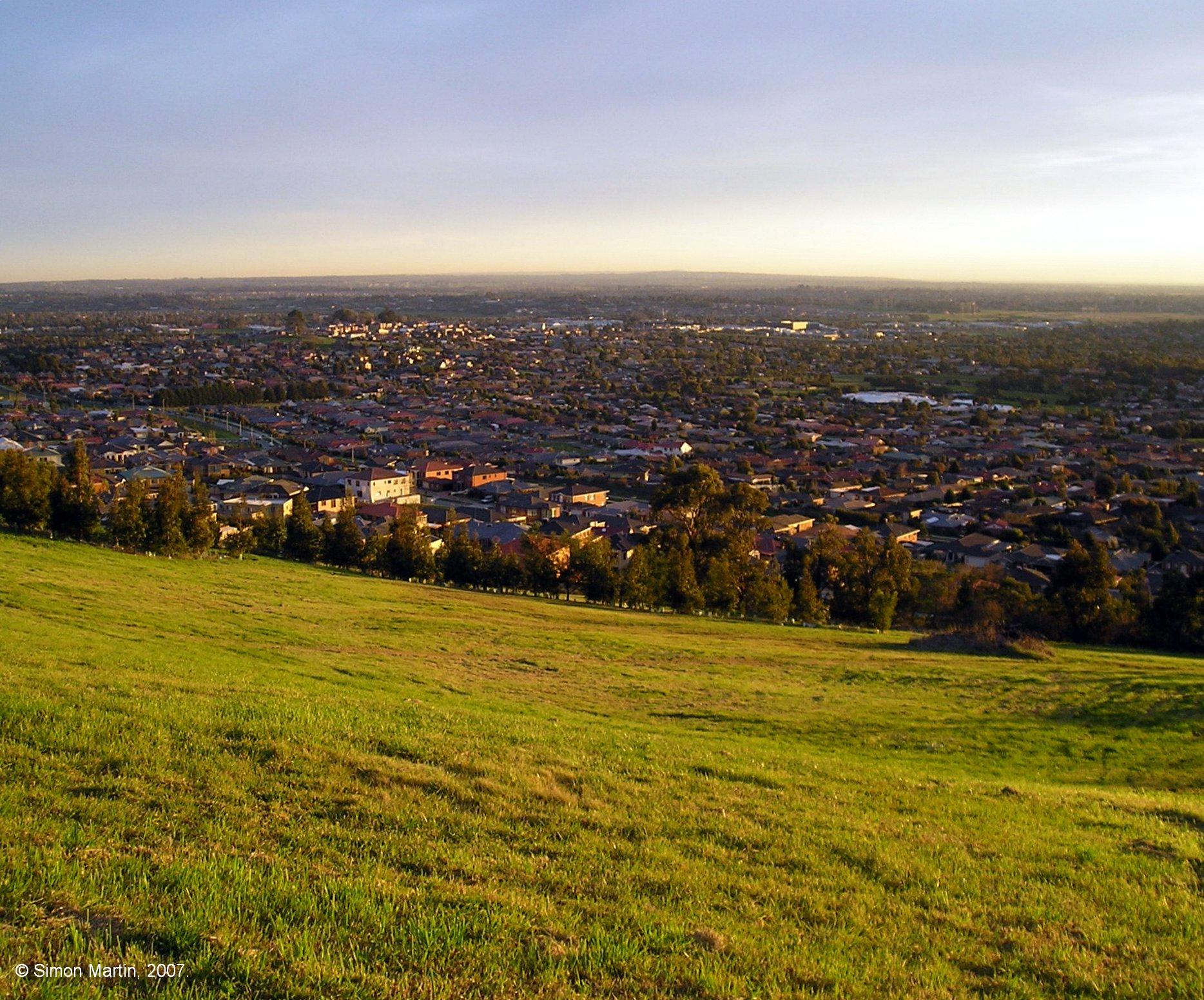
Cranbourne West 사실
| 현지 시간 | |
| 시간대 | 호주 동부 표준시 |
| 위도 및 경도 | -38.09650, 145.26707 |
Cranbourne West 지도
대화식지도
최근 인근 지진
크기 3.0 이상
| 날짜▼ | 시간↕ | Magnitude↕ | Distance↕ | 깊이↕ | 위치↕ | 링크 |
|---|---|---|---|---|---|---|
| 12/3/14 | 7:05 PM | 3.6 | 15.4 km | 10,000 m | 11km S of Beaconsfield Upper, Australia | usgs.gov |
| 5/1/13 | 4:41 PM | 3.1 | 68.8 km | 10,000 m | 7km N of Leopold, Australia | usgs.gov |
| 7/20/12 | 9:11 AM | 4.6 | 81.2 km | 13,000 m | near the southeast coast of Australia | usgs.gov |
| 6/19/12 | 10:53 AM | 5.2 | 84.9 km | 10,000 m | near the southeast coast of Australia | usgs.gov |
| 7/5/11 | 9:16 AM | 3.7 | 58.8 km | 6,000 m | near the southeast coast of Australia | usgs.gov |
| 7/5/11 | 2:37 AM | 3.3 | 64.2 km | 0 m | near the southeast coast of Australia | usgs.gov |
| 7/5/11 | 1:32 AM | 4.4 | 61.1 km | 2,000 m | near the southeast coast of Australia | usgs.gov |
| 3/30/10 | 8:08 AM | 3 | 52 km | 10,000 m | near the southeast coast of Australia | usgs.gov |
| 9/22/09 | 8:20 AM | 3.1 | 20.4 km | 0 m | near the southeast coast of Australia | usgs.gov |
| 3/18/09 | 5:28 AM | 4.3 | 60.7 km | 15,000 m | near the southeast coast of Australia | usgs.gov |

우리의 데이터
이 페이지의 데이터는 여러 공개적으로 이용 가능한 도구와 자원을 사용하여 추정됩니다. 보증 없이 제공되며 부정확한 내용이 포함될 수 있습니다. 사용은 본인 책임입니다.